


 Oligo Pools
 Variant Libraries
 Synthetic Controls
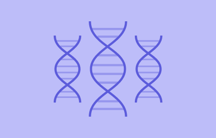


Twist Bioscience HQ
681 Gateway Blvd
South San Francisco, CA 94080
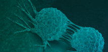
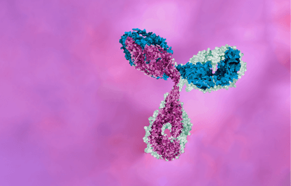
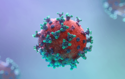
Evolution. The hidden codes that shape protein evolution
PRODUCTS USED
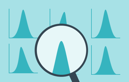
ABSTRACT
Head west on Foothill Boulevard through several cities in the Los Angeles [http://wikitravel.org/en/Los_Angeles] metro area: Rialto [http://wikitravel.org/wiki/en/index.php?title=Rialto&action=edit&redlink=1], Fontana [http://wikitravel.org/en/Fontana], Rancho Cucamonga [http://wikitravel.org/en/Rancho_Cucamonga], Upland [http://wikitravel.org/en/Upland], Claremont [http://wikitravel.org/en/Claremont],Glendora [http://wikitravel.org/wiki/en/index.php?title=Glendora&action=edit&redlink=1], and Azusa [http://wikitravel.org/wiki/en/index.php?title=Azusa&action=edit&redlink=1] (near which the name will become Alosta Avenue, then back to Foothill Boulevard, then to Huntington Drive). At Colorado Place, angle north towards I-210 (but do NOT get on the interstate), then head west on Colorado Boulevard through East Pasadena [http://wikitravel.org/wiki/en/index.php?title=East_Pasadena&action=edit&redlink=1] and Pasadena [http://wikitravel.org/en/Pasadena]. At Arroyo Parkway, turn south and follow the parkway, as it becomes CA 110 and the PASADENA FREEWAY. This is where it gets tricky. You can stay on the freeway, which is a modern simplification and enter Los Angeles by crossing Interstate 5 and exit for Figueroa Street (south), then turn north onto Sunset Boulevard. Or you can take the more historically accurate route and take CA 110 but get off at the very first exit on that freeway, turn left off the exit onto State Street, follow it to Fair Oaks Blvd, turning left and crossing over CA 110, proceed 2 blocks to Mission Street, turn right and drive approximately ten blocks to where it curves into and becomes Pasadena Ave, after two blocks it turns to the right and after three blocks crosses the Arroyo Seco River over the York Street Bridge ( built in 1912) at which time you enter into the Garvanza/Highland Park district of Los Angeles. Continue for approximately 5 blocks, then turn left on Figueroa street and proceed south for approximately 34 blocks, crossing Avenue 26 and after one block, turn left onto the south CA 110 (south). After a bit over two miles, cross Interstate 5 and exit for Figueroa Street (south), then turn north onto Sunset Boulevard. Follow Sunset Boulevard northwest to Manzanita Street (a small street), turn southwest, and Manzanita will become Santa Monica Boulevard. Follow Santa Monica Boulevard through Los Angeles, East Hollywood [http://wikitravel.org/en/Los_Angeles/Hollywood], Beverly Hills [http://wikitravel.org/en/Beverly_Hills] (the beautiful city hall near Alpine Drive is worth a look), Century City [http://wikitravel.org/en/Century_City], West Los Angeles, and back into Los Angeles [http://wikitravel.org/en/Los_Angeles]. Stay with Santa Monica Boulevard all the way into Santa Monica to Ocean Avenue where Route 66 ends and a plaque dedicates US 66 as the Will Rogers Highway. Just south of here is SANTA MONICA PIER.